
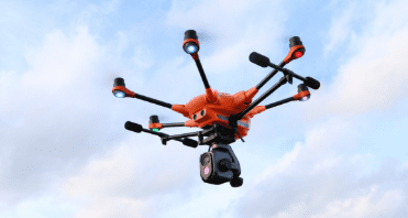
Yuneec H520 is a professional hexacopter drone features
stable airframe, multiple payloads and advanced
DataPilot™ mission planning software. The perfect
drone for any of your geospatial needs
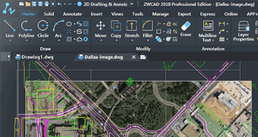
ZWCAD is a powerful, reliable and DWG compatible CAD
solution for worldwide users. It provides innovative,
collaborative and customizable features to designers and
engineers in various industries such as AEC and MFG.
Ruptela is a GPS tracking and monitoring software and
hardware that helps you stay on top of the well-being
of your fleet.
ZWCAD is a powerful, reliable and DWG compatible CAD
solution for worldwide users. It provides innovative,
collaborative and customizable features to designers and
engineers in various industries such as AEC and MFG.
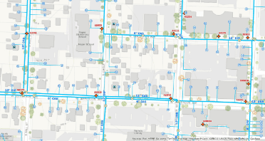
Esri builds the leading mapping and spatial analytics
software for desktop, software as a service (SaaS), and
enterprise applications. Esri ArcGIS products are designed
to deliver location intelligence and meet digital transformation
needs for organizations of all sizes.
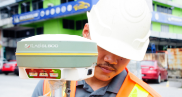
SL600 6G/SL700/SL800 GNSS Receiver
SLC Multi-Purpose GNSS Receiver
SHC30 Handheld Controller